

We've Mapped More of Mars Than Our Own Seafloor
Mars is mapped in full detail from orbit. Earth's ocean floor isn't, because light stops working underwater. Here's why, and how the gap is closing.
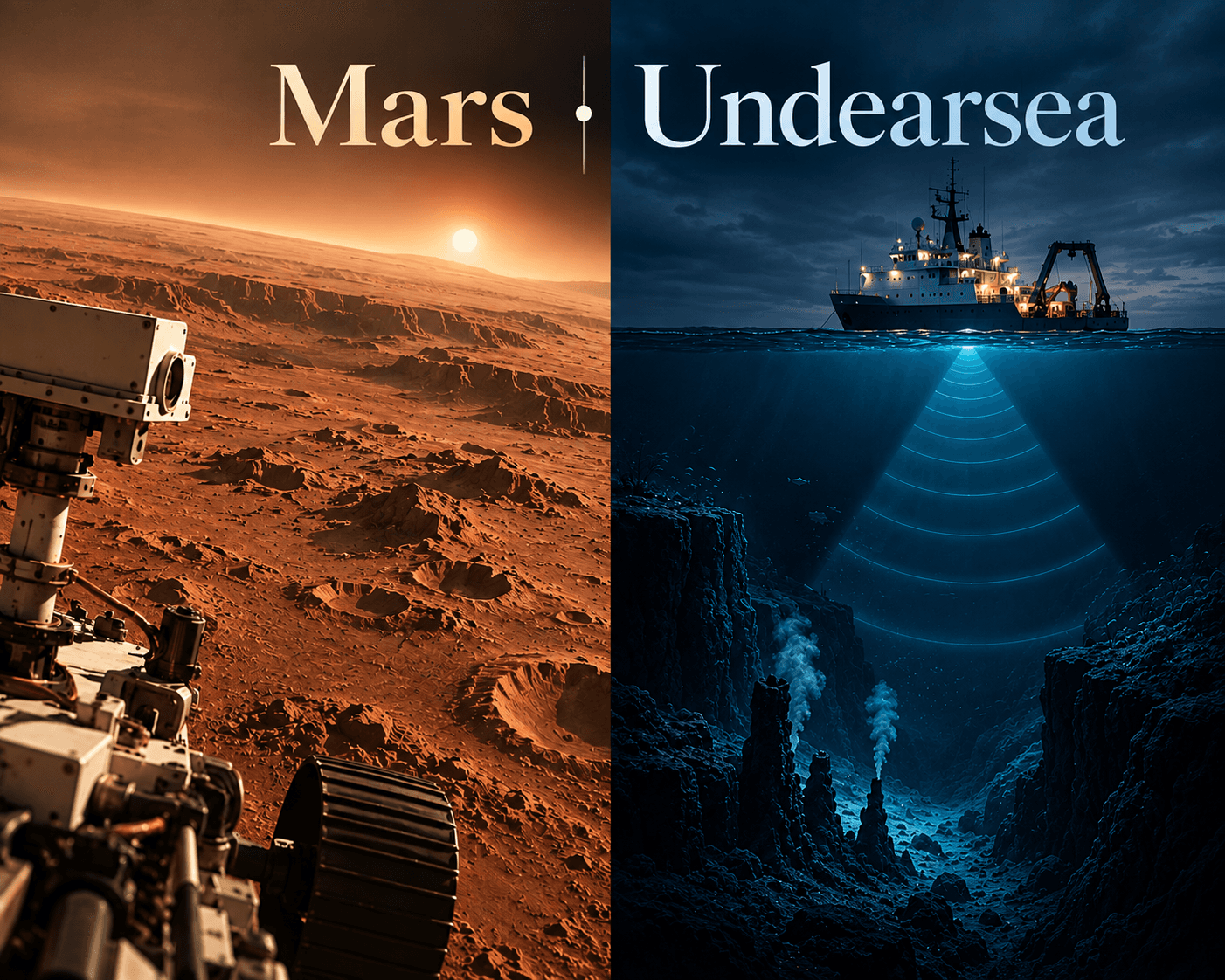
In April 2026, a research consortium announced that just over a quarter of the world's ocean floor had finally been mapped in real detail. It took nine years of dedicated ships, satellites, and volunteer data to get there.
Mars had already crossed that finish line more than a decade earlier, from orbit, without a single spacecraft ever touching the ground it was mapping.
Nothing about that is a failure of ambition. We've mapped more of Mars than our own seafloor because light, the tool every space telescope and orbital camera relies on, simply stops working the moment it hits water.
A Planet You Can Photograph, an Ocean You Can't
Mapping Mars is, in principle, a camera problem. Point a sufficiently good lens at a sufficiently close object and photograph it, over and over, until you've covered the whole surface.
That's roughly what happened. By the early 2010s, a stereo camera aboard the European Space Agency's Mars Express had imaged nearly 90 percent of the Martian surface, and a global mosaic built from decades of orbital photography now covers the planet at 100 meters per pixel edge to edge, with more than 60 percent resolved down to 20 meters or better (USGS, ESA).
The ocean floor can't be photographed that way, because visible light barely survives the first few hundred feet of seawater before it's absorbed or scattered into uselessness. Radar, the workhorse of satellite mapping, fails even faster in water. A satellite orbiting Earth can see clear to the bottom of Mars's canyons. It cannot see six kilometers down into the Pacific.
The Workaround, and Its Catch
Oceanographers get around the water problem with sound instead of light. Multibeam sonar, mounted on a ship's hull, fires pulses downward and times their echo off the seabed to build a depth map, one narrow swath at a time (NOAA).
It works. It is also almost absurdly slow, because a ship can only map the strip of seafloor directly beneath it. Covering the entire ocean at the same 100-meter resolution Mars already has would mean sailing that swath back and forth across an area wider than every continent combined.
There's a second, coarser method: satellites can't see the seafloor directly, but they can detect the tiny bumps and dips in sea-surface height caused by the gravity of underwater mountains and trenches. That trick has given the whole ocean a rough map, but only down to about 5 kilometers of detail, roughly fifty times blurrier than the seafloor's own version of a Mars photo.
Did You Know?
The deepest known point in any ocean, the Challenger Deep in the Pacific's Mariana Trench, wasn't mapped in real detail by sonar until 2010, more than 50 years after Yuri Gagarin became the first human to orbit Earth (NOAA, NBC News).
The Woman Who Proved the Seafloor Wasn't Flat
For most of the 20th century, nobody thought the ocean floor was worth mapping in detail, because nobody expected to find much down there. That assumption broke in 1957, when geologist Marie Tharp finished the first detailed map of the North Atlantic seabed, built from ship soundings she translated by hand into terrain profiles.
Tharp noticed something odd: a deep notch running down the center of a mid-ocean mountain ridge, repeating in profile after profile. It turned out to be a rift valley, direct physical evidence for continental drift, at a time when most geologists still dismissed the idea outright.
Her 1977 world ocean floor map, made with longtime collaborator Bruce Heezen, is still the visual reference most textbooks borrow from today. It also happened decades before anyone had a workable plan to finish the job.
The 1,000-Year Ship and the 2030 Deadline
The organization now trying to finish what Tharp started is called Seabed 2030, a joint effort between the Nippon Foundation and the General Bathymetric Chart of the Oceans. Its own estimate is blunt: mapping the entire seafloor to Mars-level resolution using a single ship, sailing back and forth, would take roughly 1,000 years.
Instead, Seabed 2030 pools data from naval surveys, research cruises, and even commercial shipping vessels willing to run sonar while in transit. The approach is working. In the year leading up to its April 2026 update, the project added nearly 5 million square kilometers of newly mapped seafloor, pushing total coverage to nearly 29 percent, an area larger than the combined landmass of Africa and Australia (Seabed 2030, IHO, Spatial Source).
Whether the project hits its 2030 target for full coverage is still an open question, but the trajectory has moved from theoretical to genuinely plausible for the first time.
The internet under the ocean runs through the same unmapped terrain this article is about. Submarine cable operators still occasionally route new fiber lines through canyons and seamounts nobody has surveyed, because the detailed seafloor charts simply don't exist yet for those stretches.
Why the Comparison to Mars Isn't Really About Mars
It's tempting to read the Mars comparison as a knock on ocean science, or a case that we've prioritized space over our own planet. That's not quite right.
Mapping Mars is a problem you solve by getting a good enough camera far enough away with a clear line of sight. Mapping the seafloor is a problem you solve by physically dragging a sensor across every square kilometer of a hostile, lightless, three-dimensional volume. It's closer to comparing a photograph of a house's roof from a plane to a floor plan you have to draw by walking through the basement with a tape measure, at night.
Space missions that map worlds as far apart as the planets in our solar system succeed partly because they're solving an easier version of the same underlying problem: get information back from far away, fast, using light. The ocean floor never had that option available to it.
Interesting Fact: One widely cited oceanographic estimate puts the share of ocean floor surveyed at the kind of ultra-high resolution needed to spot something as small as a shipwreck at well under a tenth of one percent, roughly the surveying equivalent of examining a single city block on a map the size of a continent. The figure is a single-source estimate, not an audited count, but no oceanographer disputes that it is a very small number.
Knowlegic Perspective
The instinct, on hearing that Mars is better mapped than our own ocean floor, is to treat it as an embarrassment, evidence of skewed priorities or wasted budgets. That reading doesn't hold up once you look at what each job actually requires.
Space agencies solved a hard problem, getting spacecraft to another planet, and then inherited an easy one: once you're there, light does the rest of the work for free. Ocean scientists never got that gift. Every meter of seafloor detail has to be paid for in ship-hours, sound waves, and years, because the one tool that makes remote mapping fast doesn't function underwater at all.
What's changed is that the ocean's version of the job finally has a realistic finish line. Seabed 2030's coalition model, pooling data from navies, researchers, and commercial ships rather than waiting on one dedicated fleet, is the first approach that scales to the size of the actual problem.
We've mapped more of Mars than our own seafloor not because we chose the sky over the sea, but because light stops working the moment it hits water, and every gain since has come from building around that one hard limit rather than wishing it away.
Sources & References
- Mapping the Gaps in Our Ocean Knowledge with Seabed 2030, NOAA Ocean Exploration (2026)
- Global seabed mapping reaches new milestone as five million square kilometres added in a year, Seabed 2030 / The Nippon Foundation-GEBCO (2026)
- Global seabed mapping reaches new milestone, International Hydrographic Organization (2026)
- Almost 30% of the ocean floor has been mapped, Spatial Source (2026)
- Mapping Mars, European Space Agency
- Earth's Deepest Spot Revealed in Unprecedented Detail, NBC News (2011)
Enjoyed this?
Get notified when a new Knowlegic story worth knowing is published.


